[FAQ-1] Kumano Kodo Maps & Routes: A Complete Beginner’s FAQ
Thinking of walking the Kumano Kodo but not sure which route to choose? Wondering where to get the official map?
In this article, we—the team behind SEN.RETREAT, an accommodation on the Kumano Kodo—answer the questions we’re most often asked in a clear, easy-to-follow FAQ.
From choosing the right route for beginners to checking distances and downloading free PDF maps, this guide will help you plan with confidence and make your Kumano Kodo trip easier.
Frequently Asked Questions about Kumano Kodo Maps
Q1: Where can I get the Kumano Kodo route map?
We provide an online digital map where you can check the Kumano Kodo Nakahechi route. Please use it to help plan your trip.
▶ Kumano Kodo Digital Map

Official Kumano Kodo route maps are available free of charge at local tourist information centres, including the Tanabe City Tourist Information Centre and the Kumano Hongu Tourist Association. While picking up a paper map on-site is safest, saving the map files to your smartphone in advance is helpful in case of an emergency.
▶ TANABE Tourist Information Center
▶ Kumano Hongu Tourist Association
Q2: Is there a free PDF map of the Kumano Kodo?

Yes. Free PDF maps are available from the official tourism sites. They’re organized by the main routes—Nakahechi, Ohechi, Kohechi, and Iseji—and include details such as distances, elevation profiles, and the locations of rest areas and toilets.
Q3: What routes are there on the Kumano Kodo?
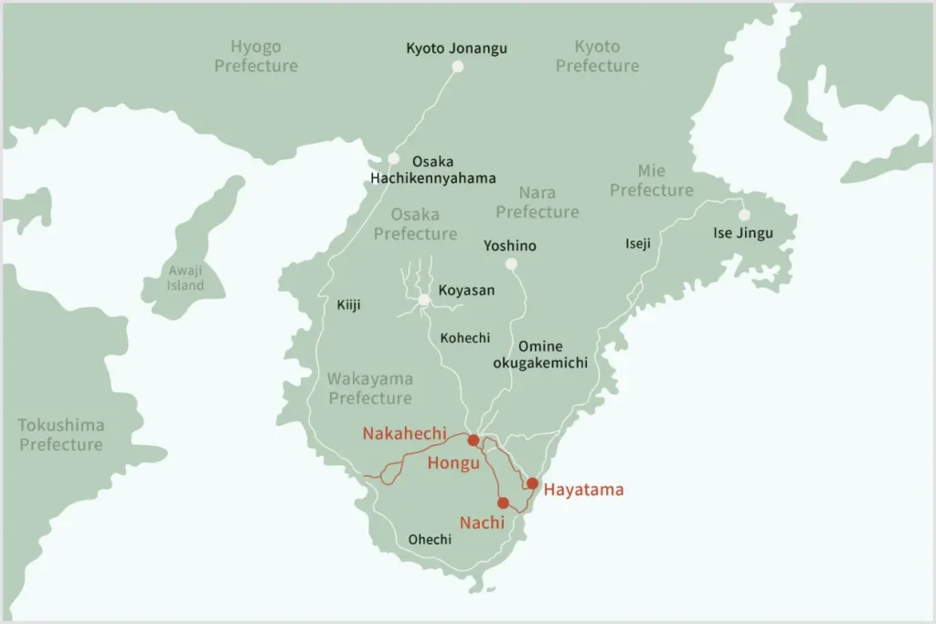
There are six principal routes:
- Nakahechi — the classic and most popular route from Tanabe to Kumano Hongu Taisha; beginner-friendly.
- Kohechi — a rugged mountain route linking Mount Koya (Koyasan) and Kumano Hongu Taisha; very strenuous.
- Ohechi — a coastal route with wide sea views between Tanabe and Nachi/Kushimoto; great if you want scenery as well as shrines and temples.
- Ise-ji — the Tokai approach from Ise Jingu to the Kumano Sanzan; ideal for history lovers.
- Kii-ji — the ancient trunk road from the Kyoto/Osaka area down through Wakayama; convenient access from urban centers.
- Omine Okugake-michi — a high-ridge traverse from Yoshinoyama toward Kumano, used by Shugendo ascetics since the Heian period; very demanding.
Each route differs in scenery, difficulty, and accessibility, so choose the one that best matches your fitness, time, and interests.
Q4. How long is each of the Kumano Kodo routes?
| Route name | Approximate distance |
|---|---|
| Nakahechi | Takijiri Oji – Hongu Taisha. 38 km (main section) |
| Kohechi | Koyasan – Hongu Taisha shrine. 70 km |
| Ohechi | Tanabe – Nachi-Katsuura. 92 km |
| Ise-ji | Ise Jingu – Kumano Hongu. 170 km |
| Kii-ji | Osaka – Tanabe. 120 km |
| Omine Okugakemichi | Yoshinoyama – Kumano Hongu Taisha shrine. 170 km |
Some routes can take several days to complete, so many walkers divide their walk into sections.
Q5. What is the best map for the Kumano Kodo Nakaheji route?
The official Tanabe City Kumano Tourism Bureau PDF maps are the standard recommendation. The Nakahechi set is divided into segments and includes distances, elevation profiles, and the locations of rest areas and toilets. An English version is available. For safety, pick up a paper map locally and save the PDFs offline to your phone before you go.
▶ Area-specific map download sites
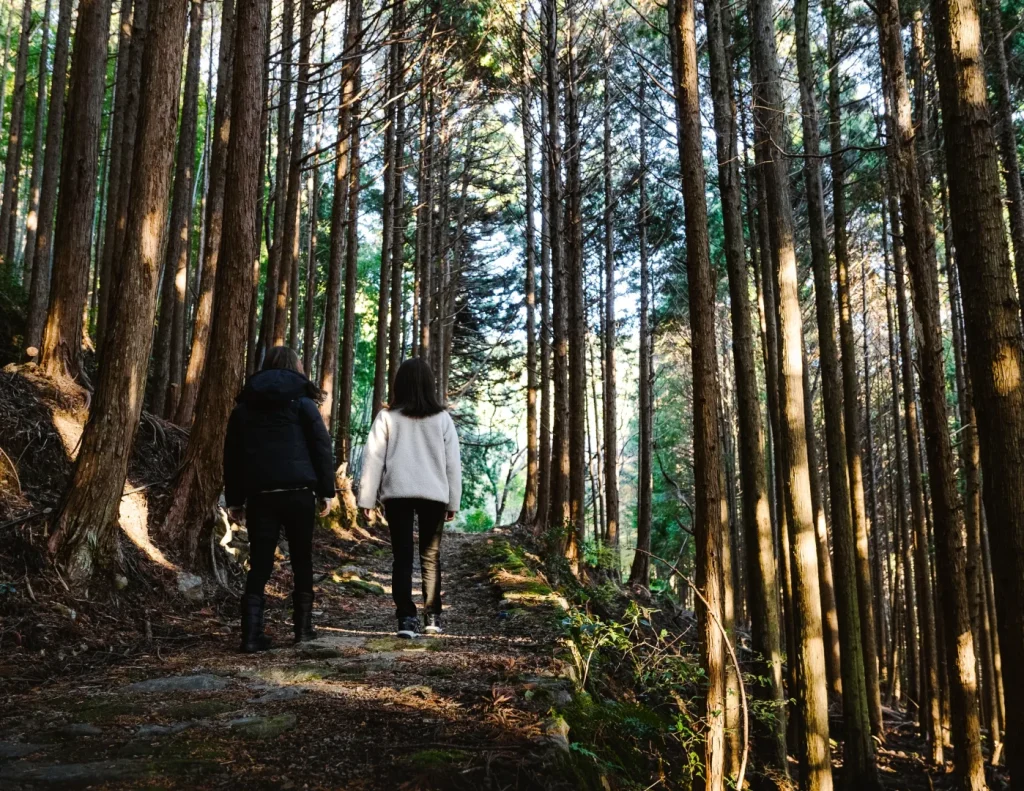
Q6: Can I walk the Kumano Kodo without a guide and using a map?
Yes—many visitors do. The trails are generally well waymarked, and the Nakahechi route in particular has frequent signposts and information boards, making it beginner-friendly. That said, mobile reception can be patchy in the mountains, so carry a paper map, save the PDF maps for offline use, and bring a power bank. Plan conservatively and be prepared to adjust your route based on weather or how you’re feeling.
Q7: What if you’re unsure which route to choose on the Kumano Kodo?
For beginners, the ‘Nakaheji’ route is particularly recommended, and SEN.RETREAT has accommodation along the Nakaheji route. Please use SEN.RETREAT as a base for your journey.
Summary|Enjoy the Kumano Kodo Safely
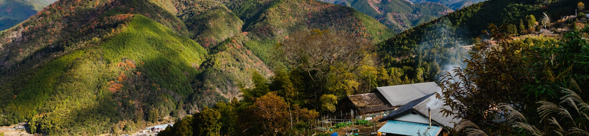
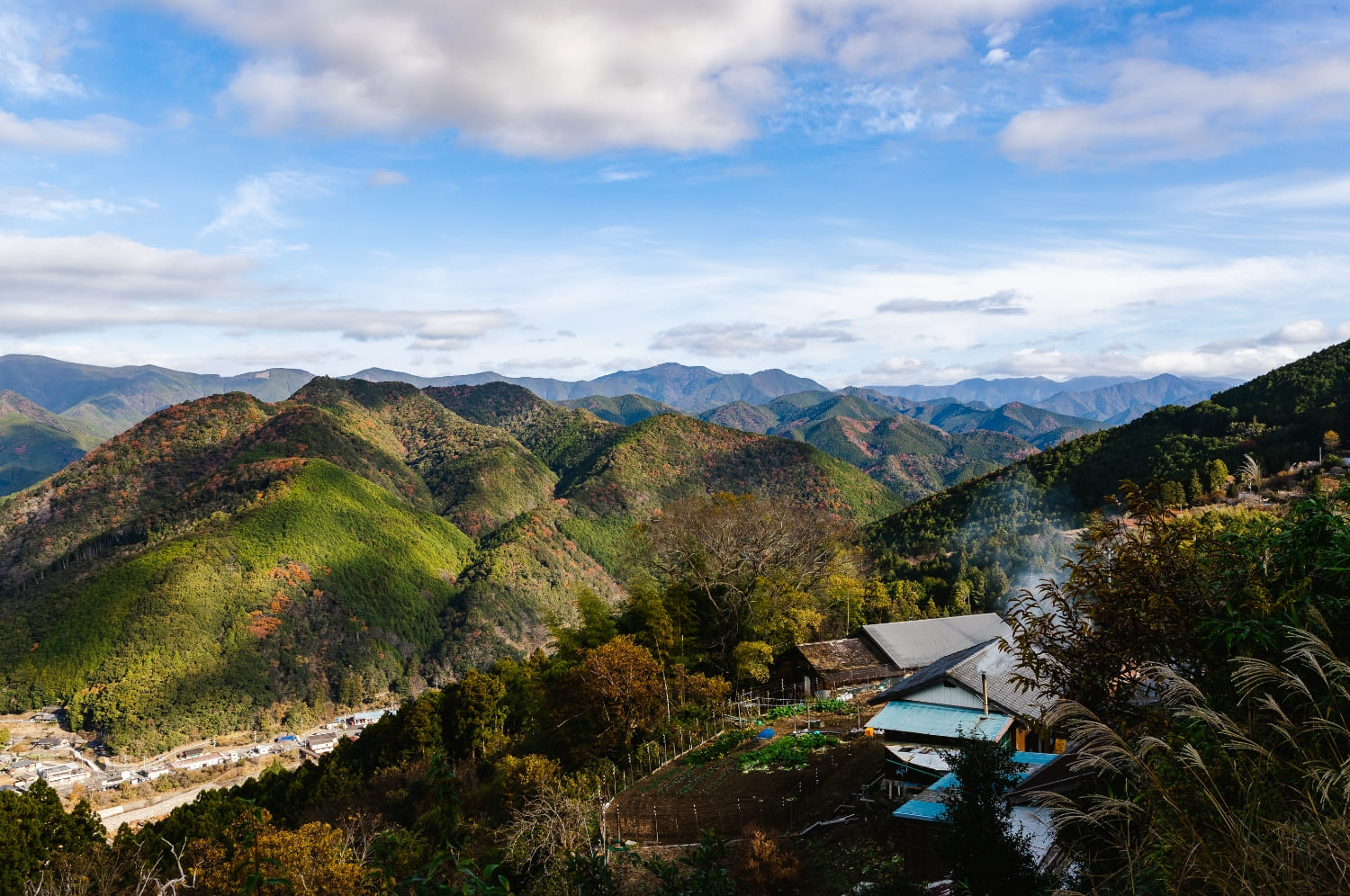
Embark on a journey that refreshes both body and mind, surrounded by the nature and history of the Kumano Kodo.
Get an official map before setting off.
Use a paper map together with a smartphone GPS app.
For first-timers, we recommend starting with the Nakahechi route.
Other Articles